
CESMapper
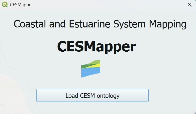
QGIS plugin to provide Coastal and Estuarine System Mapping (CESM) functionality within a geospatial framework.
Contents
This text will be replaced automatically with the TOC (h4, h5) in the published version (not visible in the Preview). See class episode-body to change format.
Why it matters?
CESMapper matters because understanding a coastline begins with being able to clearly identify the elements that make up the coastal system — beaches, dunes, cliffs, estuaries, barriers, and the links between them. This is not as simple as it sounds: coastlines are complex, dynamic, and often ambiguous, and different users may interpret system boundaries in different ways. CESMapper was built to help people work through that complexity by providing a structured, transparent way to map the components of a coastal or estuarine system and record the reasoning behind those choices. By making this understanding visible and shareable, CESMapper supports better communication between practitioners, communities, and decision‑makers, and helps ensure that everyone is working from the same picture of how a coastline functions.
This software and additional supporting material can be found in the official repository and in dedicated LinkedIn URL shown below.
Related content
Thank you! Your submission has been received!
Oops! Something went wrong while submitting the form.

coastalgeohazardsexperts.co.uk
Coastal Geohazards Experts Ltd. Registered Number: SC873383. Registered in Scotland. Correspondence address: Murchison House, 10 Max Born Crescent, EH9 3BF, Edinburgh, United Kingdom. Copy Right (c), Coastal Geohazards Experts Ltd, 2026. All rights reserved. "Dr Andres Payo" is a trading name of Coastal Geohazards Experts Ltd.